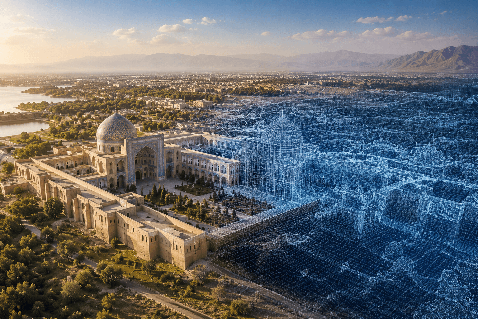
3D Reconstruction
Photogrammetry and digital twin systems for terrain reconstruction and spatial analysis.
PhotogrammetryDigital twins3D terrain analysis
Read More
GEOAI SOLUTIONS
AI-powered geospatial systems for mapping, monitoring, analytics, reconstruction, and decision-making
Real-World Applications
Photogrammetry and digital twin systems for terrain reconstruction and spatial analysis.
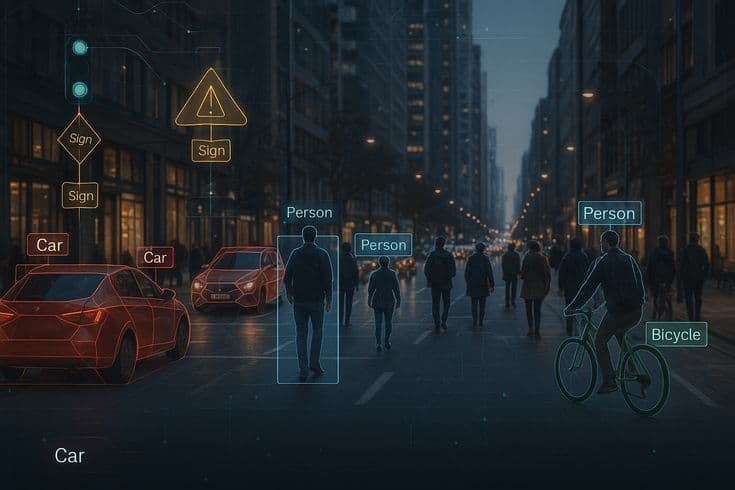
Infrastructure monitoring, road analysis, object detection, and vehicle intelligence.

Predictive mapping, heatmaps, spatial analysis, and operational geospatial insights.
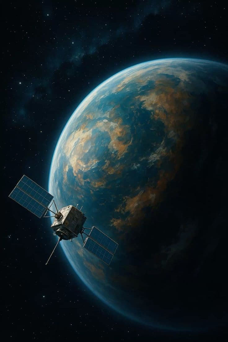
Satellite imagery, environmental monitoring, land-use analysis, and change detection.
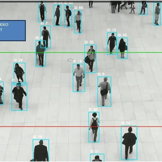
Crowd behavior analysis, anomaly detection, movement prediction, and behavioral analytics.
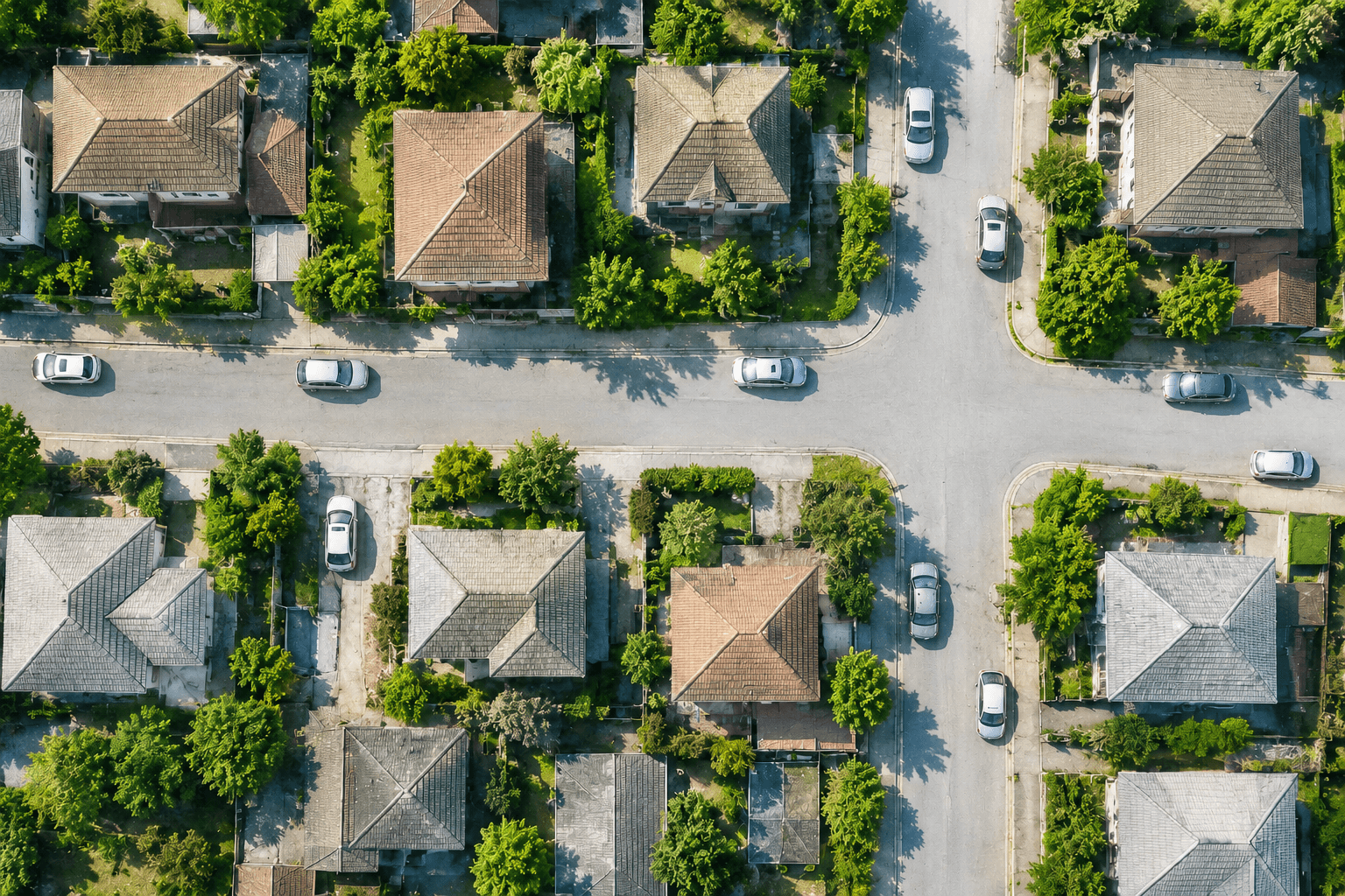
Intelligent Aerial Detection
High-accuracy spatial recognition in real time

GEOAI Workflow
Capture
Process
Analyze
Predict
Visualize
98%
Detection Accuracy
Real-Time
AI Analytics
4K
Geospatial Analytics
GIS+
Large-Scale Processing
Deploy GEOAI
Turn geospatial data into intelligent infrastructure, environmental insight, and operational foresight
Start a Project