Photogrammetry
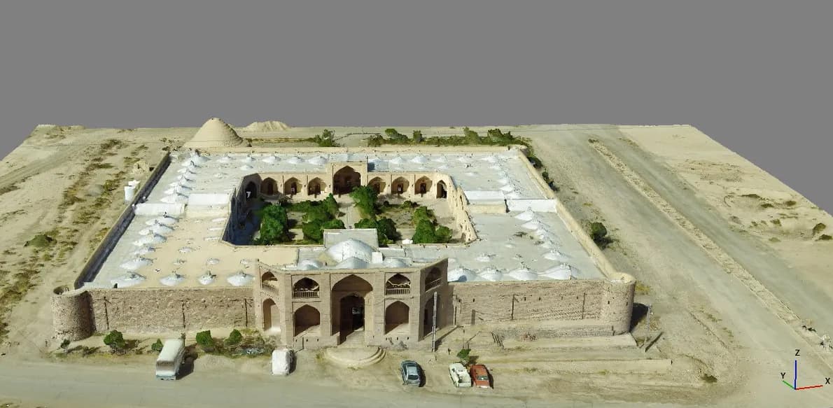
Multi-view image alignment and high-resolution reconstruction.

Photogrammetry + Reconstruction
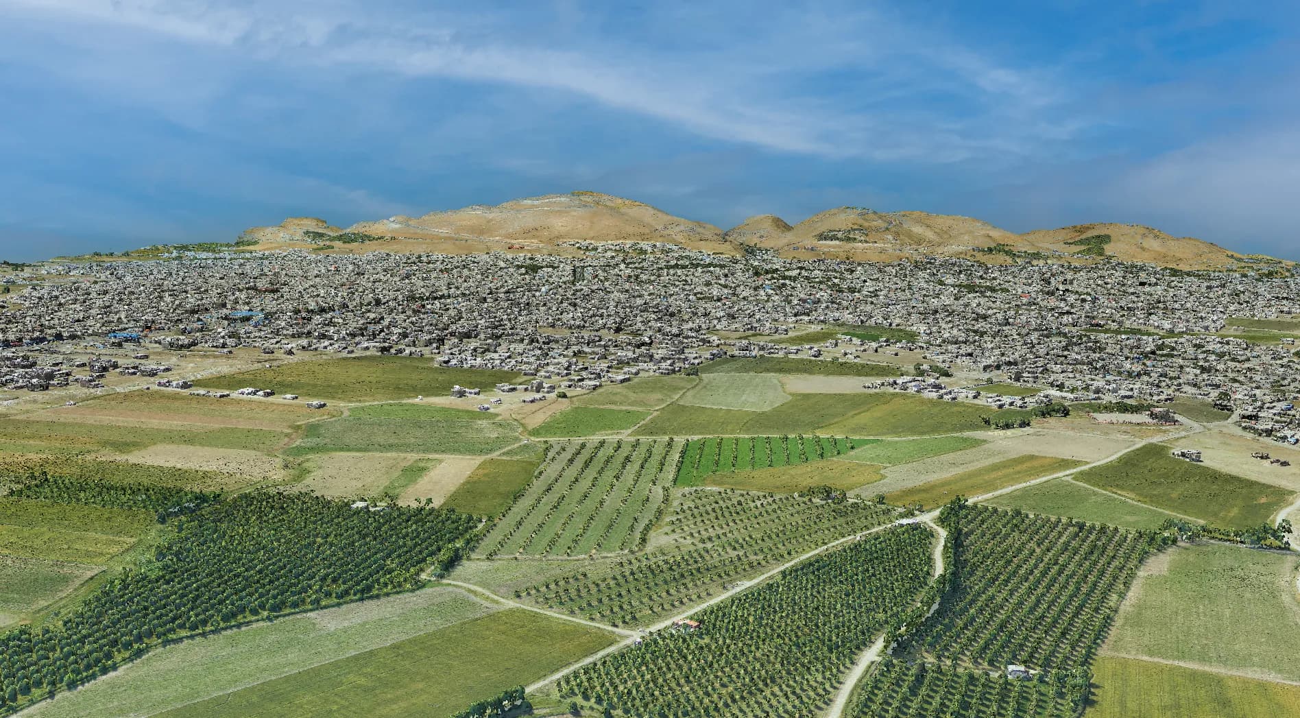
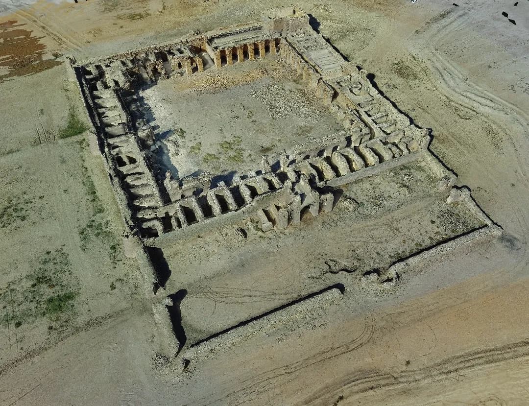
Advanced terrain reconstruction, point clouds, mesh intelligence, and digital twin generation.
Live Case Study
From Geospatial Data to Actionable Intelligence
Project Overview
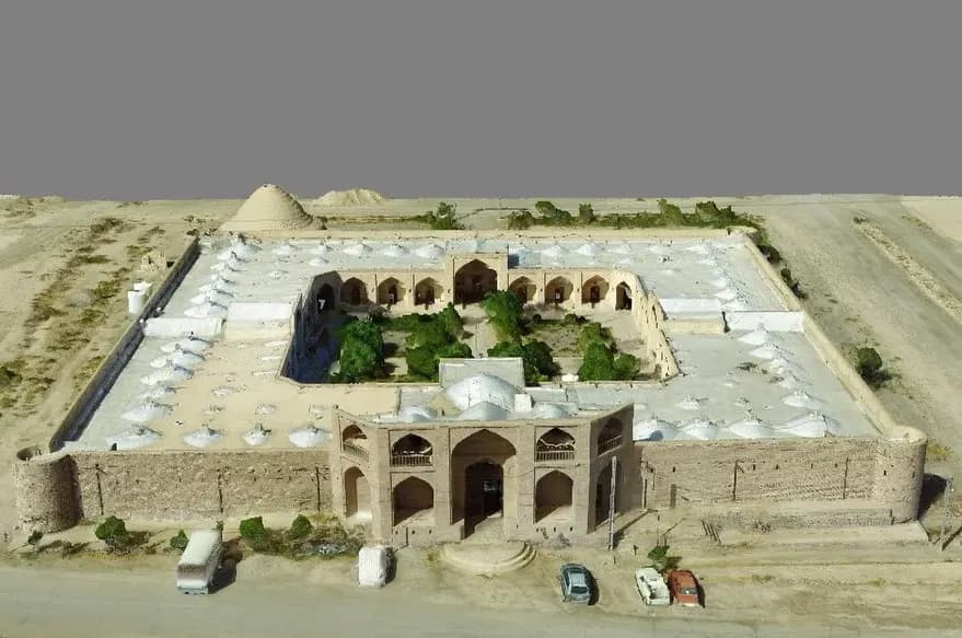
A precision modeling pipeline that converts drone imagery into dense point clouds, textured meshes, digital twins, and terrain intelligence.
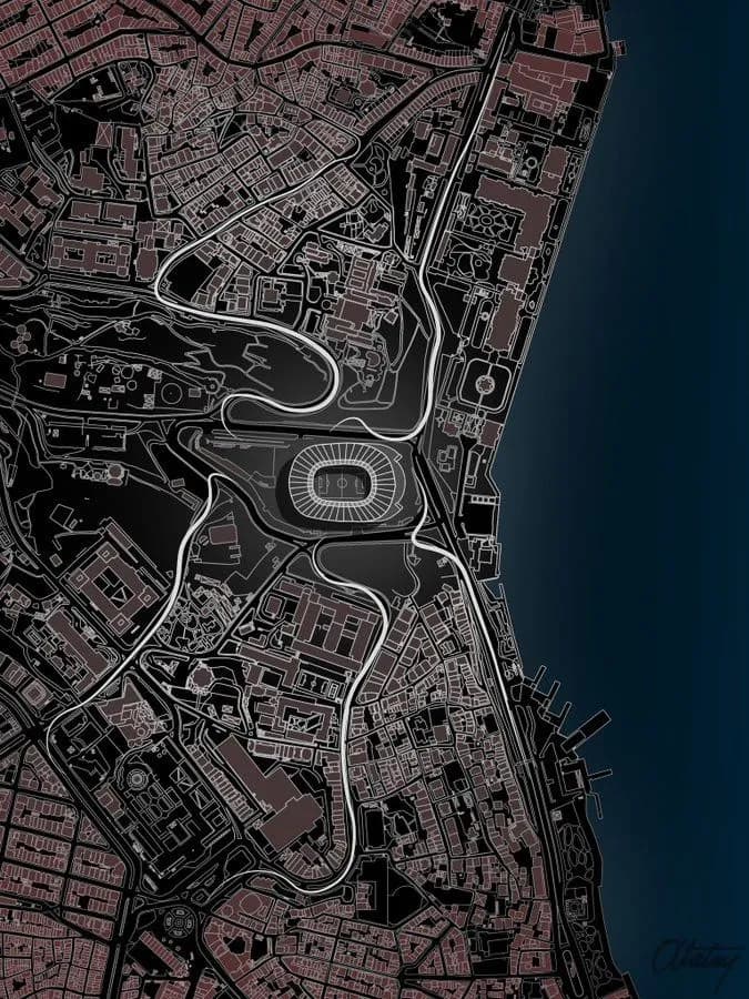
Interactive visual layer
54% analyzed
Interactive Showcase
Move between raw capture and reconstructed surface intelligence with mesh lines, depth cues, and point-cloud style overlays.
Technology Stack
Multi-view image alignment and high-resolution reconstruction.
Dense spatial point extraction for terrain and structure modeling.
Topology-aware surfaces and reconstruction-ready geometry.
Operational 3D models for measurement, analysis, and planning.
Workflow / Pipeline
Capture
Align
Reconstruct
Measure
Export
cm
Level Precision
3D
Digital Twin
Dense
Point Clouds
Fast
Model Pipeline
Media / Gallery
Related Projects