Computer Vision
Detection, segmentation, tracking, and visual intelligence for aerial imagery.
TECHNICAL CAPABILITIES
Intelligent systems for remote sensing, spatial analytics and predictive intelligence
AI Capability Matrix
Detection, segmentation, tracking, and visual intelligence for aerial imagery.
Model pipelines for spatial perception, classification, and inference.
Spatial data models, map engines, and geospatial decision layers.
High-resolution capture workflows for terrain, infrastructure, and cities.
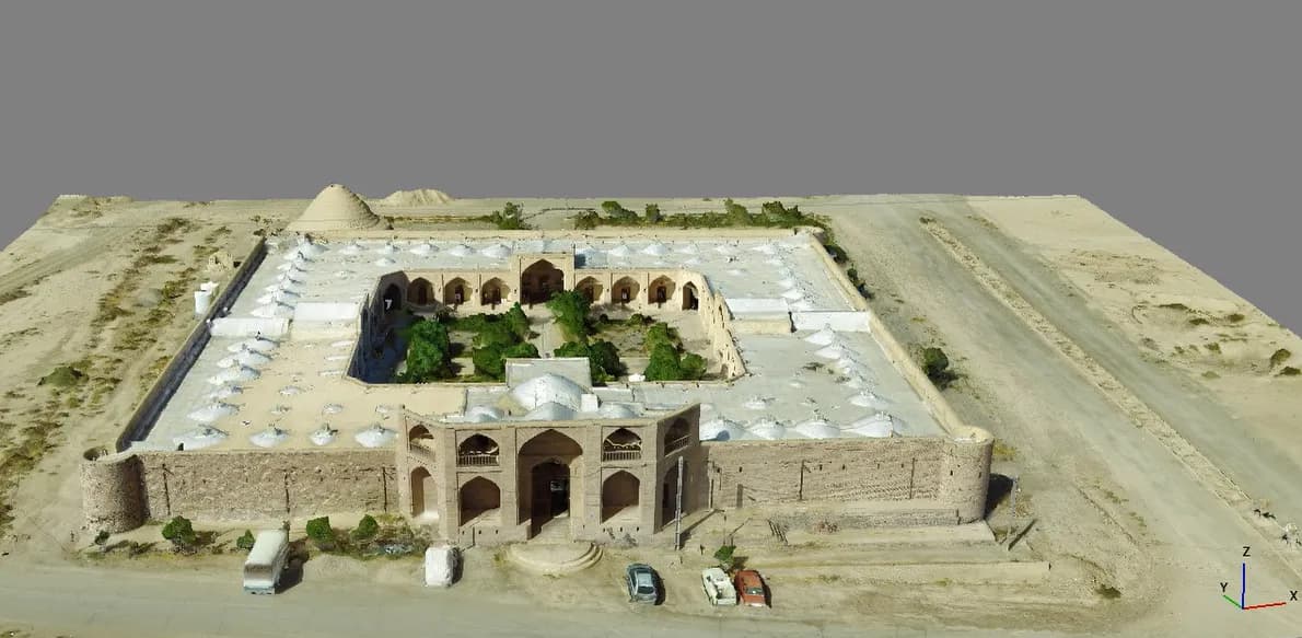
Photogrammetry, reconstruction, point clouds, and digital twins.
Point cloud filtering, extraction, elevation modeling, and analysis.
Remote sensing pipelines for land use, environment, and change detection.
Object motion, telemetry streams, and live geospatial monitoring.
Human motion intelligence, behavior analysis, and movement signals.
Forecasting spatial risk, change, density, and operational patterns.
AI Pipeline
Drone/Satellite Data
AI Processing
Spatial Analysis
Prediction Engine
Visualization Platform
AI Layer
Detection Stream
Platform Preview
Maps, detections, coordinates, AI overlays, tracking visuals, and analytics panels work together as one operational interface.
Research & Innovation
Experimental GEOAI methods for understanding, forecasting, and visualizing spatial change.
Experimental GEOAI methods for understanding, forecasting, and visualizing spatial change.
Experimental GEOAI methods for understanding, forecasting, and visualizing spatial change.
Experimental GEOAI methods for understanding, forecasting, and visualizing spatial change.
Experimental GEOAI methods for understanding, forecasting, and visualizing spatial change.
Experimental GEOAI methods for understanding, forecasting, and visualizing spatial change.